Tutorials
Our tutorials provide clear, step-by-step guidance for navigating the IBAT platform.
To support a broader community of users, some tutorials are available in Spanish, with additional languages to be introduced in the future, ensuring greater accessibility for all.
IBAT Overview
Understand IBAT's functionality and features. Get an insight into the datasets that make up IBAT, how to use that data to assess your organisation’s sites, and learn about the reports that are available through IBAT, such as Disclosure Preparation (TNFD, GRI) and Proximity Reports.

Seminario IBAT: Apoyo a la acción empresarial en favor de la biodiversidad
En este seminario, Gonzalo Gomez, Programme Officer de IBAT, presenta la Herramienta Integrada de Evaluación de la Biodiversidad (IBAT) y su papel en apoyar a las empresas a tomar acciones positivas para la naturaleza.
IBAT apoya al cumplimento de las metas del Marco Global de Biodiversidad de Kunming-Montreal, y contribuye a detener la extinción de las especies y divulgar impactos empresariales en la naturaleza en relación con las normas y marcos globales de sostenibilidad.
Navigate Nature-Related Reporting with IBAT’s Disclosure Preparation Report
Using the report, organisations can assess if their sites are located in or near sensitive areas in alignment with the different definitions provided by the TNFD, GRI and ESRS (based on the IBAT datasets). Sites assessed as in or near sensitive areas are then given a significance score to aid the prioritisation of these sites. The report also provides guidance on buffers to be applied to different site types, analysis based on the operation type across an organisation’s value chain and outputs from IBAT which can be used for the specific disclosure requirements of ESRS, TNFD and GRI.
Navigating Nature Related Risks: A Complementary Approach to Biodiversity Assessment Tools Webinar
The pressure on organisations to assess their nature-related impacts is growing, driven by market demands and an increasing number of regulations, frameworks, and standards. In this evolving landscape, understanding and assessing an organisation's biodiversity-related risks is crucial.
You might be asking: "With multiple biodiversity assessment tools available, how do they differ, and how can we use them together effectively?"
This webinar will aim to address that question. We'll equip you with a clear understanding of different biodiversity assessment tools, including IBAT, ENCORE, and WWF Biodiversity Risk Filter. You'll learn about their individual functionalities and gain practical insights into how you can use them in a complementary manner to support robust nature-related risk analysis and decision-making.
Join our speakers from IBAT, UNEP-WCMC, and WWF for this insightful session and get your questions answered.
Understanding Portfolios
IBAT Users can create portfolios of Projects to faciliate the management of large numbers of associated sites or assets, and the generation of multi-site reports for reporting and disclosure purposes.
KBAs: Identifying the right places for protecting biodiversity
This video explains what KBAs are and why they are critical for ensuring that protection occurs in the right places. The world is discussing expanding protection to 30% of the planet by 2030 in order to halt biodiversity loss - but if the 30% is not well placed it will likely have minimal impact.
Understanding KBAs
Key Biodiversity Areas (KBAs) are the most important places in the world for species and their habitats.
By providing these data through IBAT, commercial users, private industry and other stakeholders can make the best decisions about how to manage land (or waters), where to avoid development, and how best to conserve and protect the animals and plants for which the sites are so important.
Invite a User to IBAT
IBAT account admins can easily add new staff members or consultants to their subscription. There are no limitations on the number of accounts per organisation.
Make IBAT Users Inactive
This tutorial is for IBAT account managers to make their users inactive once colleagues or consultants no longer require access to the tool.
Once the user is inactive you will see their activity status listed as 'false'.
View Data Layers
Key Biodiversity Areas, protected areas and the range rarity layer (derived from range maps of the IUCN Red List of Threatened Species) can be viewed together in IBAT. These layers can be viewed in relation to IBAT Projects to help understand the location of particular sites and the global relevance of a particular commercial activity. Note, the IBAT data map is not sufficient for biodiversity risk screening on its own as it does not provide all the information needed to make an informed decision. For the full datasets and proximity analysis please see IBAT Reports.
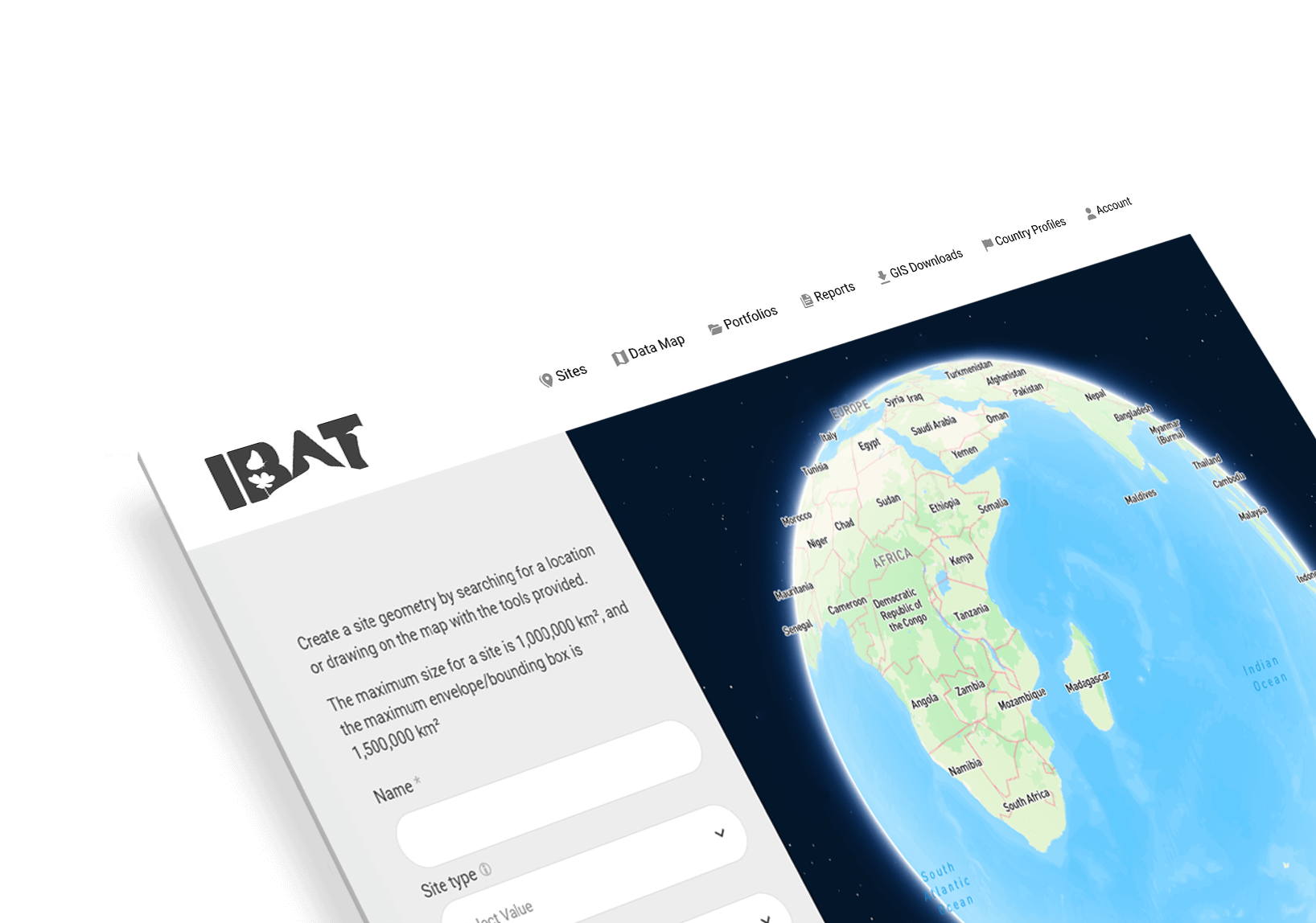
Create a Site in IBAT
This tutorial shows how to upload a single site location, which is stored as a 'Project' in IBAT. Users can also upload sites en masse (please see our tutorial for the spatial file upload). Once users have created IBAT Projects, they can then use these to download IBAT reports or the raw GIS data for the IUCN Red List, Key Biodiversity Areas and protected areas.
Create a Multi-site Report in IBAT
This report allows users to assess multiple sites in relation to one another and identify those with high biodiversity risk. This report is useful for IBAT users in a range of ways including assisting with their sustainability reporting against biodiversity standards like GRI 304-1 or assessing supply chains for sustainability.
Create a Freshwater Report in IBAT
IBAT Freshwater Reports are designed to speak to the potential biodiversity risk of operating in freshwater systems and are based on the IUCN HydroBASINS layer which contains global watershed boundaries and sub-basin delineations. The reports allow users to identify how their activities could impact freshwater biodiversity upstream and downstream of the site.
Create a Proximity Report in IBAT
The IBAT Proximity Report is our flagship report that draws from the IUCN Red List of Threatened Species, Protected Areas and Key Biodiversity Areas data. Users can see the proximity of their project to these biodiversity features with a range of buffers up to 50km from the project boundary.
Create a PS6 and ESS6 Report in IBAT
IBAT biodiversity risk screening reports focus on a range of topics. This report focusses on Critical Habitat and is designed to assist users intending to adhere to International Finance Corporation (IFC) Performance Standard 6 (PS6) and World Bank ESS6.
Request an upgrade in IBAT
This video shows how to request upgrades for IBAT Subscriptions. Users can subscribe at Basic, Pro or Enterprise Level in order to access globally authoritative conservation data and biodiversity risk screening reports.
Geospatial file upload
This tutorial describes the process of uploading a spatial file in IBAT. Files including ESRI Shapefiles, KMZ, KML and CSV can be directly uploaded onto the IBAT platform to create IBAT Projects.
Create a data download
Data for the World Database on Protected Areas, The World Database of Key Biodiversity Areas and The IUCN Red List of Threatened Species can be downloaded in IBAT at the project or global level. This tutorial describes how to download and manage your data downloads in IBAT.


Learn how IBAT can transform your relationship with data and support your nature-positive goals